Comments Welcome

To add a comment to any post on this blog, select the post by clicking on the title either in the post itself or in the list of posts on the left of the page. Then scroll down to the foot of the post and type your comment in the box.

Tuesday, 4 February 2014

Bicycles on Barrack Street

The City of Perth has released a proposal (http://www.perth.wa.gov.au/planning-development/city-projects/projects-city/temporary-cycle-lanes-barrack-streetfor protected 2-way cycle lanes on Barrack Street - as an interim measure pending full 2-way traffic operation.

The STC applauds the intention of the City of Perth to install protected bicycle lanes on Barrack Street as an interim measure in advance of permanent lanes when the permanent reconfiguration of Barrack Street is completed in 2015. There are, however, some matters of detail that we suggest need to be reviewed with a view to improvement of the safety and convenience of cyclists, pedestrians and bus passengers.

It is undesirable to have multiple changes of cyclist priority over such a short distance. In the proposal, these changes occur:
a) at the Wellington Street intersection, where the cyclist must become a pedestrian;
b) after crossing Wellington Street, where the cyclist has absolute priority in the protected cycle lanes;
c) on reaching the CAT bus stop, where the cyclist loses priority to pedestrians for a short distance;
d) on leaving the shared footpath zone at the CAT bus stop, where the cyclist reverts to having absolute priority;
e) on arriving a St Georges Terrace, where the cyclist must, again, become a pedestrian; and
f) south of St Georges Terrace where initially the cyclist will join general traffic or, after mid-2014, will enter a one-way cycle lane.

The requirement for cyclists to dismount and cross with pedestrians, at Wellington Street and St Georges Terrace, makes life unnecessarily difficult for cyclists travelling south as they will have to wait for two pedestrian phases (with parallel walks) to get from or to the continuation of their journey. This will inevitably result in some southbound cyclists using the western footpath on Barrack Street north of Wellington Street and south of St Georges Terrace. Others may attempt the diagonal movement despite there no longer being a protected 'all-pedestrian' phase at these intersections. 

If cyclists were to follow the suggested rules, the footpath corners of these two intersections would get very congested with a mix of pedestrians and dismounted cyclists in a confined space. There would also be conflict during the actual crossing, as both these intersections carry heavy pedestrian volumes.

Perhaps a better solution at the southern end, especially given that bike lanes are yet to be installed south of St Georges Terrace, would be to extend the two-way bike lane directly across St Georges Terrace down to the Esplanade and incorporate a pedestrian/cyclist phase north of the Esplanade for southbound riders to get across to the eastern side of the carriageway.

The main point is that it is confusing and potentially dangerous for cyclists to face so many changes over a relatively short section of what is intended to be a high-standard cyclefacility, namely a City Cycle route in the City of Perth Cycle Plan 2029. This is counter to the intention of encouraging alternative transport as a key to achieving the City of Perth's Vision 2029 (see Message from Lord Mayor at the front of Cycle Plan 2029).

The treatment at the CAT stop is asking for trouble as it changes the priority of the cyclist and people waiting for the bus will tend to congregate as close as possible to the boarding point, thus blocking the cycle lanes - if it's a shared footpath zone, they have every right to do so as there is no requirement to keep moving on a footpath. Even if they do wait to the west of the shared zone, the bike lanes will be blocked when a bus arrives for boarding. 

When cycle tracks are installed between the pavement and the carriageway there is a built-in conflict between cyclists and bus passengers. Efforts must be made to ensure that bus passengers do not descend directly onto the cycle track. When this is not possible, cyclists must give way to bus passengers.

This would suggest that the appropriate treatment would be to:
a) continue the bike lanes in a straight line but with a raised level at the CAT bus stop;
b) keep the bus passenger waiting area on the footpath where it currently is; 
c) require waiting passengers not to stray onto the cycle lanes unless actually boarding a bus; and
d) require cyclists to give way to bus passengers boarding or alighting at the stop.

It is worth noting that this is precisely the situation for all road users with trams/light rail in Melbourne and many other places where there is no in-roadway waiting area for passengers. 

Because no fares are paid on CAT buses and loading/unloading uses both doors, CAT buses do not dwell long at a stop and delays to cyclists or general traffic would be minimal - especially bearing in mind that one rarely, ever, gets through sequential lights on green without waiting. It would also remove the problem of buses having to get back into the traffic stream (the blue CAT stop on James Street has the bus waiting in the traffic lane and it seems to work okay).

If necessary, bus-transponder-activated signage could be installed so that there is a clear message to cyclists to stop.


Posted by Ian Ker, Deputy Convenor, STCWA

Tuesday, 31 December 2013

Funding Alternatives to the Private Car

Click to enlarge
Click to enlarge
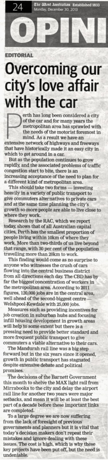
The RAC ('Job shift out of CBD could ease traffic', West Australian, 30 December) rightly draws attention to the failure of the planning system in Perth to achieve its own aspirations for development of strategic regional centres that are effective alternatives to the CBD of Perth.

The West Australian's editorial ('Overcoming our city's love affair with the car', West Australian, 30th December) supports the RAC's statement and adds that there is also a need "to provide a better standard and more frequent public transport to give commuters a viable alternative to their cars".

The Sustainable Transport Coalition of WA (STCWA) strongly supports the need for better public transport but adds that bringing employment closer to where people live would also make cycling and walking feasible alternatives for more people - provided cycling and walking facilities are direct, convenient and safe.

A key to getting out of unnecessary reliance on the private car is a more equitable funding approach to transport.

At present, only roads have a reasonably assured long-term funding allocation for investment. 

Public transport funding is often sporadic and, as we have seen from the recent Government response to the loss of the AAA credit rating for the state, subject to deferral and changes in priorities. Most important, though, the Government needs to get ahead of the game, providing capacity before it is forced by congestion to provide it.

Bicycle infrastructure funding is, at least in principle, committed four years ahead, but the current level of annual funding is less than one-third of that required to complete the Government's own bicycle network plan in the next ten years.

And as for walking, the State Government largely leaves this to local government, with the result that provision is patchy and subject to local priorities and funding capability. There are too many suburbs where even a footpath on one side of the street is a rarity. And walking access to train stations is often poor, creating the demand for ever more car parking at stations. 

The STCWA suggests that an inquiry into transport funding in WA should be undertaken as a matter of urgency, to identify the most efficient means of allocating resources for transport infrastructure and services.

Posted by Ian Ker, Deputy Convenor, STC.

Thursday, 19 December 2013

Inverted Priorities?

It's a sad state of affairs when a $1.6 billion circus that is only to be used once a week at most and for the primary benefit of a commercial sporting enterprise (the AFL) takes precedence over much-needed transport infrastructure to serve the only major corridor of Perth that does not have trains.

The priorities within public transport are questionable, too. Research on airport rail links in Australia and overseas and experience in Brisbane and Sydney suggests that a Perth airport rail link, which the Government says it will continue with, is likely to be a big white elephant. Brisbane Airport handles 21 million passengers a year and the airport rail link carries 2 million passengers. Perth Airport handled 13.7 million passengers in 2012/13, about two-thirds of the Brisbane numbers, suggesting a Perth airport rail link would attract fewer than 1.5 million passengers a year - about 4,000 a day.

Before the March state election, the Liberal Government estimated the cost of the Airport Rail Link as $1.9 billion - more than the entire Southern Suburbs Railway. The SSR carries 78,000 passengers on a weekday.

Even for those who will use it, the Airport rail link benefit is occasional, whereas the MAX light rail would provide benefits on a daily basis.

The bottom line is that the community (which, after all, will be funding these things) needs to be able to see and assess the business cases for MAX, the Airport rail link and the Burswood Stadium. In the absence of comparable business cases, the community would be justified in feeling that the Government has got its priorities the wrong way up.

Posted by Ian Ker, Deputy Convenor, STC.

Friday, 29 November 2013

Perth's Population Explosion

Long-range forecasting is a necessary part of planning but is always fraught with difficulty. For that reason, land use and transport planning should be on the basis of managing risk and uncertainty rather than a single projected value (or even range of values) for population.

It is of some concern, therefore, that newly-released population forecasts for Perth are substantially higher than those used as the basis for Directions 2031, the major strategic planning guidance for Perth.

Directions 2031
Directions 2031 was based on a Perth population of 2.40 - 2.88 million by 2031, with a longer-term expectation of 3.5 million by 2050.

The new forecasts from the Australian Bureau of Statistics show a range of 2.7 - 3.1 million (+12.5% on Directions 2031) for 2031 and 3.9 - 5.4 million (+15% to +50% on Directions 2031) by 2050.
Australian Bureau of Statistics 

Such a large increase in medium-term and long-term population expectations does not simply mean that current plans can be accelerated. All development, including transport infrastructure, has a long lead time, which means the acceleration required is effectively even more rapid than the population forecasts imply.

Acceleration will also mean that there is a great temptation to rely more heavily on the 'easy' fixes - those that can be accelerated most readily - rather than those that are more suitable for growth but are more difficult to implement quickly.

Directions 2031 sets a target of 47% of new dwellings to be created as infill in existing developed areas. This was a reduction from 60% from the previous Network City. Any further reduction, even in the short-term, to accommodate more rapid growth would increase distances people have to travel and add to congestion and the cost of travel.

More fundamentally, forecasts of a larger-than-previously-anticipated population growth for Perth raises the question of whether such a size and rate of growth is desirable and, if not, how it can be influenced.

In transport, predict-and-provide is increasingly being replaced by demand-management, but one of the prime determinants of travel demand, population, is still regarded as a given. Perhaps it is time for both land use and transport planning to consider Perth's population growth as something to be influenced rather than as a given that is beyond our control.

Tuesday, 26 November 2013

Turning Back The Years - But Why?

Guardian Express, 26th November 2013


Twenty years ago, community consultation on what was then called the City Northern ByPass clearly said that if the road were to be built it should be put in tunnel and a coherent urban form re-established over the top. As a result, we now have the 'Northbridge Link', which has brought life and amenity back to an area that had been subject to traffic and planning blight for decades.

This regeneration has included reducing the traffic function of Newcastle Street and creating a more people-friendly environment and has led to retention and reinvigoration of heritage buildings and attractive new residential and commercial developments.

None of this would have happened if the traffic function of Newcastle Street had remained predominant.

Earlier this year, the Northbridge Tunnel was increased from two to three lanes in each direction to provide additional east-west traffic capacity across the north of the City.

Yet now we see proposals (http://www.perth.wa.gov.au/sites/default/files/events/Council_agenda_131119.pdf, pp122-129) to provide yet more east-west traffic capacity on a road that already has problems at intersections with north-south arterials. The proposal would require changes (= reduction) to footpath widths, loss of trees and restriction of right turns to turn back the clock ten years. As the City of Perth's report says, this would be returning the cross-section of the street to what existed ten years ago and operating the kerbside lanes as clearways.

It is all the more disturbing that the initiator for this was a statement in the Department of Transport's Perth Central Business District Transport Plan 2012 that the operation of Newcastle Street to run two lanes of traffic in each direction during peak periods be considered. Is this the same Department of Transport that is trying to get people to use cars less (through TravelSmart) and to walk and cycle more? Has it lost it concern with 'moving people' as distinct from 'moving vehicles'?

To be fair to the City of Perth, it's report does acknowledge the detrimental impact on pedestrians and cyclists, especially with regard to crossing Newcastle Street, but it proposes to deal with this by formalising crossing points (including a signalised crossing for cyclists at Palmerston Street), but anyone familiar with the area knows that it is the ability to cross safely at many places, not just those designated by the traffic engineers, that makes it work as a place rather than a highway.

Inner-city areas in many cities were almost destroyed by traffic in the second half of the 20th century. Newcastle Street was in a state of limbo for decades. The new proposal runs the risk of turning this part of Northbridge back into a place dominated by traffic and would devalue the amenity and property values of the people and business-owners who have turned the tide of decay that previously characterised this important area.

Friday, 22 November 2013

PATREC Seminar 11th December: Spatial Development Planning in Post-1994 South Africa

PATREC invites you to attend a Planning and Transport Research Centre and UWA School of Earth and Environment seminar entitled:

Spatial Development Planning in Post-1994 South Africa:
Influences, Approaches and Outcomes
Date: Wednesday 11 December 2013, 3.30-5.00pm
Continuing Professional Development points: 1

The seminar will be presented by Professor Mark Oranje
Prof Oranje will present a seminar on the South African post-apartheid Spatial Development Planning experience, focussing on how the EU approach has been interpreted and applied in the South African context. Concluding with the lessons learnt on a more general level about spatial development planning as a state activity to formulate a set of questions for consideration in theAustralian, and in particular, the Western Australian context.

The presentation will be followed by a question period. For more details please see the abstract of the talk and UWA campus map below.
Please distribute this invitation to anyone who may be interested

Short Bio of Prof Mark Oranje
Mark Oranje is Professor and Head of the Department of Town and Regional Planning at the University of Pretoria. His key areas of interest are planning policy, long-term planning and planning history. He has authored and co-authored numerous academic papers, articles, chapters in books and technical reports. Over the last nineteen years Mark has acted as a consultant to a number of national and provincial government departments, national and provincial planning commissions, and science councils on issues relating to municipal integrated development plans; local and regional economic development; municipal, provincial, national and supra-national planning; land use management; intergovernmental relations; and the integration of land use and transport planning.
Click to enlarge
Click to enlarge

Congestion Costs All Of Us

Click to enlarge
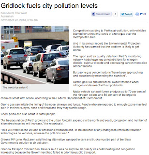
The Environmental Protection Authority has rightly drawn attention to the contribution of motor vehicles to the high levels of ozone often found in the air that we breathe in Perth. 

Ozone is literally an irritant, which poses health risks, but it is by no means the only problem that arises from our over-reliance on the private car. Even setting aside issues of climate change, high traffic volumes cause congestion and community severance.

Congestion is a self-interest issue for car drivers. Every time we drive our cars, it costs us up to 20 cents a kilometre in fuel and maintenance costs. We impose another 20 cents on other road users for each kilometre we drive, through slower travel times and higher fuel and maintenance costs in stop-start traffic.

In peak periods, we impose 30 cents of cost on others for each kilometre we drive.

And have pity on those communities that are severed by the major roads we drive along and the heavy traffic we are part of. Whether this severance is planned (as with freeways and controlled-access highways) or unplanned (as with inner-urban centres that straddle arterial roads such as Beaufort Street, Mt Lawley, and Fitzgerald Street, North Perth), traffic-related severance makes places less attractive (for both people and businesses) and more difficult for people to get from one part another - ironically increasing the likelihood that they will need to use a car to get around locally. 

Funding and traffic priority for public transport is part of the solution, but we also need to focus on improving local accessibility on foot and by bicycle. This includes improving access - not simply providing more car parking - to train stations. At many train stations, 40% of cars parked all day are registered within 3 kilometres of the station, but walk or cycle distances are often greater because of the lack of direct walk/cycle facilities.

The bottom line, though, is that most of us make journeys by car that we could easily make by other means. One in ten car trips is less than one kilometre and one in three is less than three kilometres. 

The solution to congestion lies as much with us as individuals, making appropriate choices about our travel, as it does with us as community, making suitable investments in transport so that we have real alternatives to choose from.